May 26, 2021 - Day Seven, Flight One, Part Four
Colorado River, Lake Powell, Wahheap Creek
|
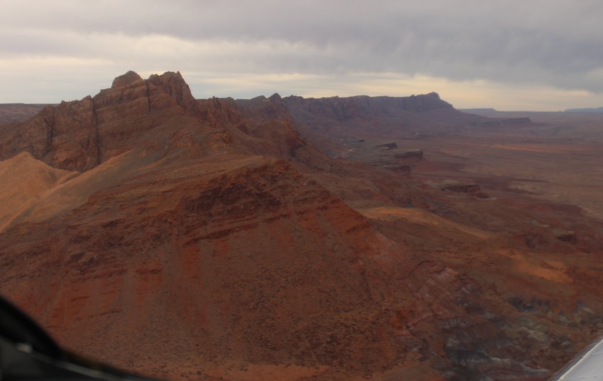
| At Lee's Ferry I turned northeast towards Page. |
| |
 |
|
|
Flying on the west side of the Colorado River.
|
| |
 |
|
| |
| |
 |
|
|
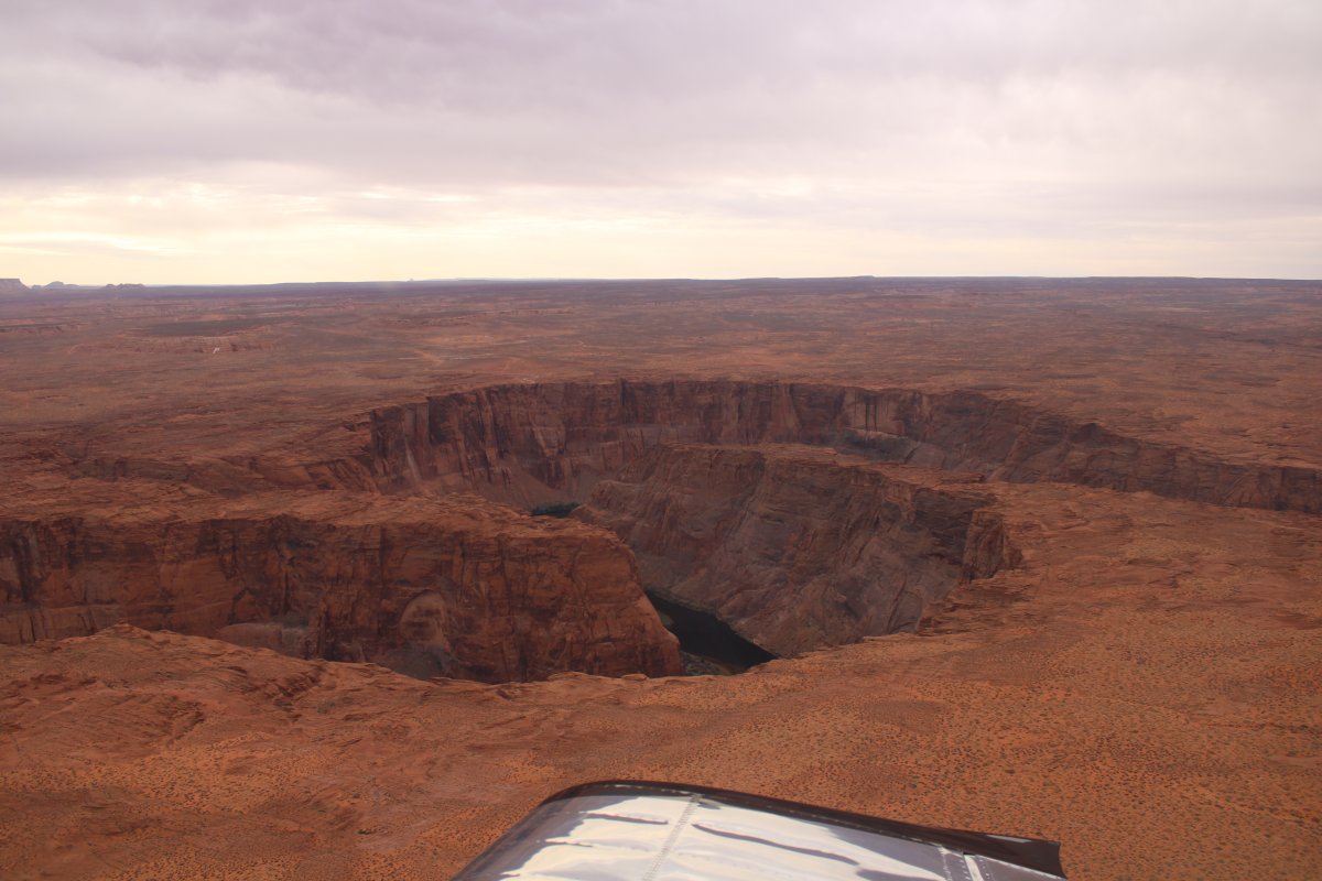
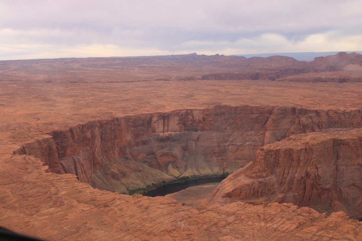
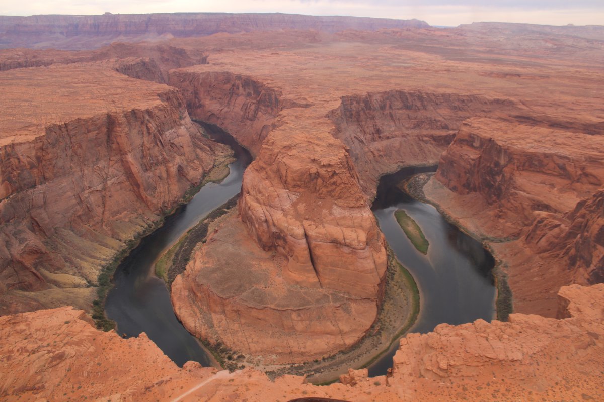
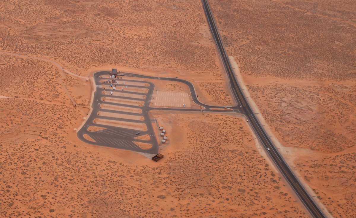
Of course I had to take a picture of one of the most photographed sites in the world: Horseshoe Bend.
|
| |
 |
|
| It has developed into quite the tourist attraction since I first saw it in 2014. The parking lot is greatly expanded from what it was when I first came, and I think they charge you now. It's worth the money though. |
| |
 |
|
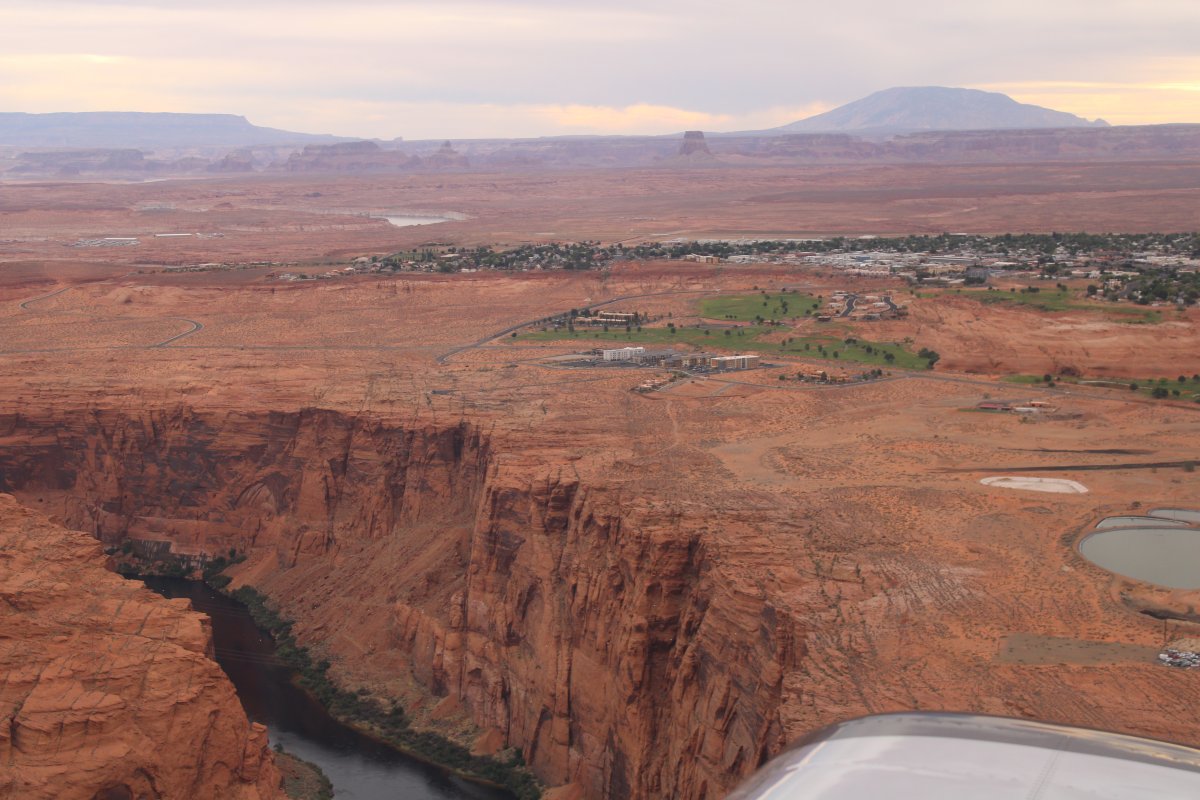
| Passing to the west of Page, Arizona. The airport is on the other side of town. Nice airport, but I didnt have the need to stop today. |
| |
 |
|
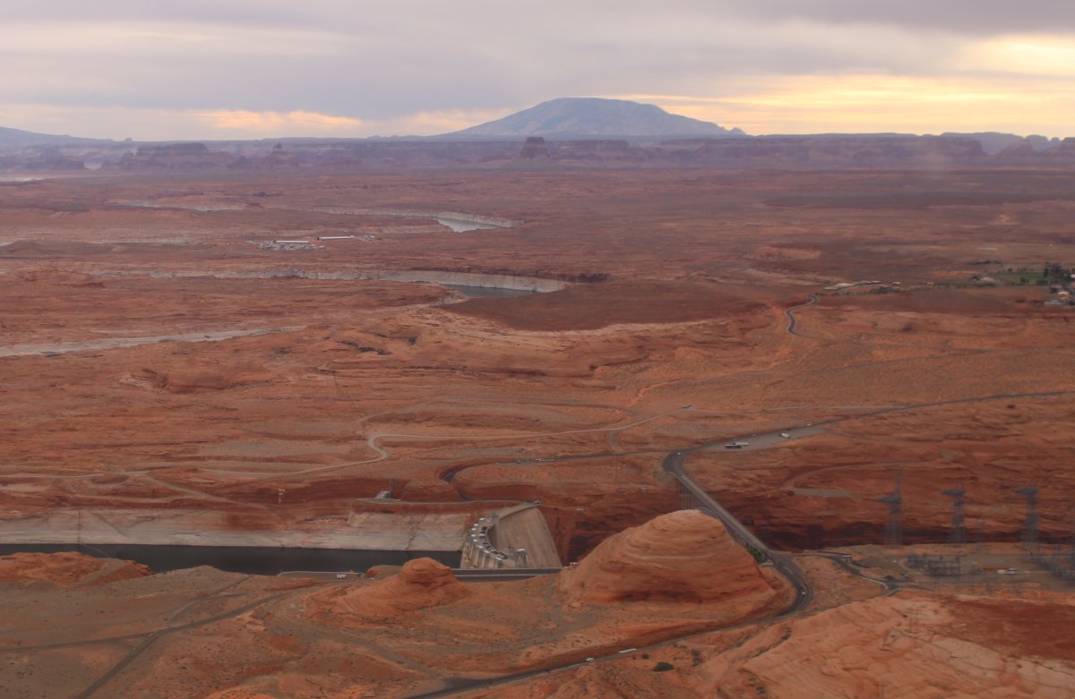
| The top of Glen Canyon dam is just visible in the center of the picture. The Glen Canyon Dam created Lake Powell, of course. It is only 26 feet shorter than the Hoover Dam and actually has more volume of concrete. |
| |
 |
|
|
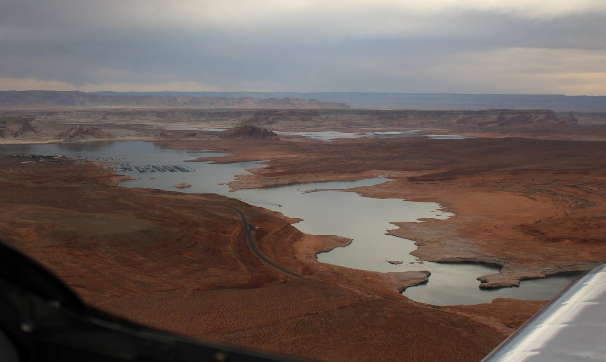
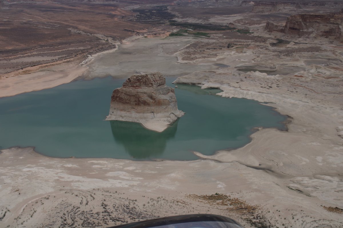
I made a left into the first branch of Lake Powell.
|
| |
 |
|
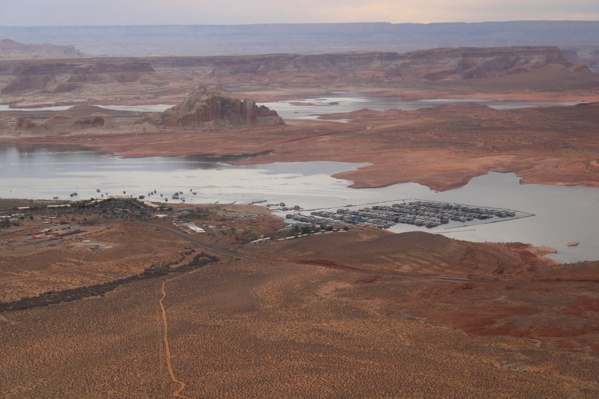
| Looking down at the huge Wahweap Marina. |
| |
 |
|
| Continuing west up Wahweap Bay. |
| |
 |
|
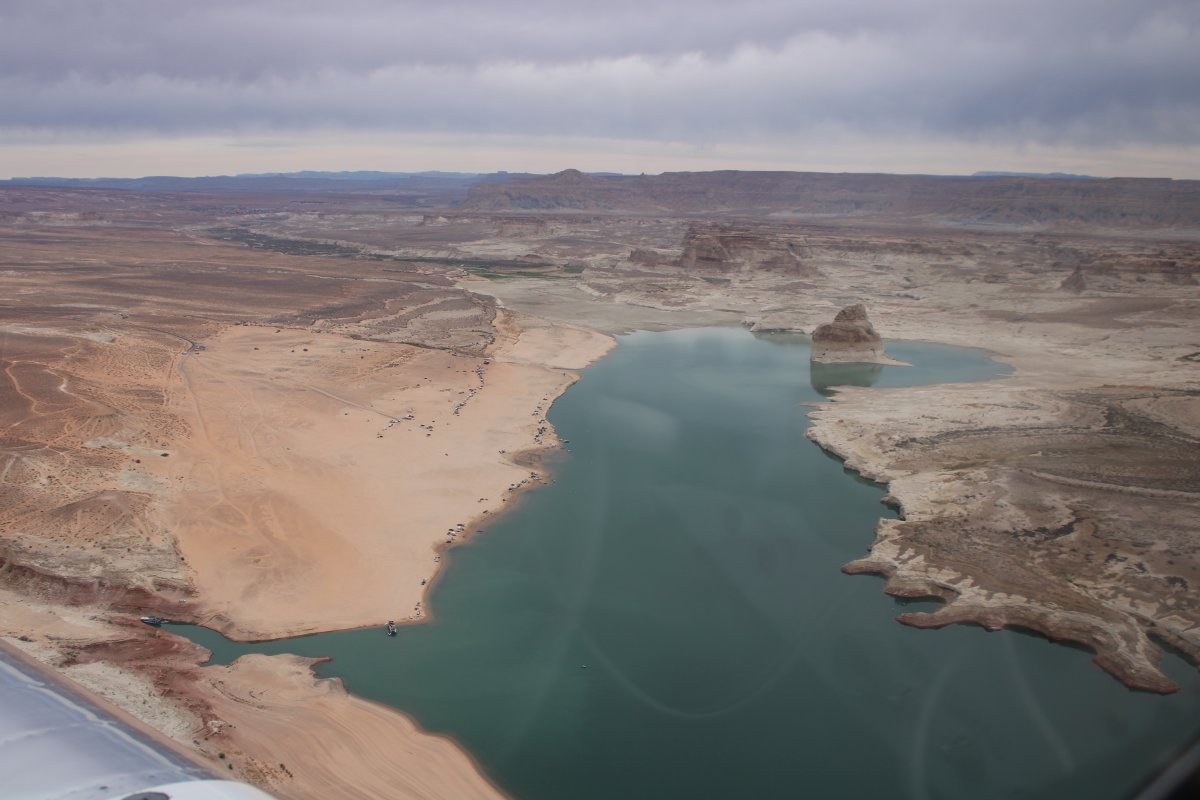
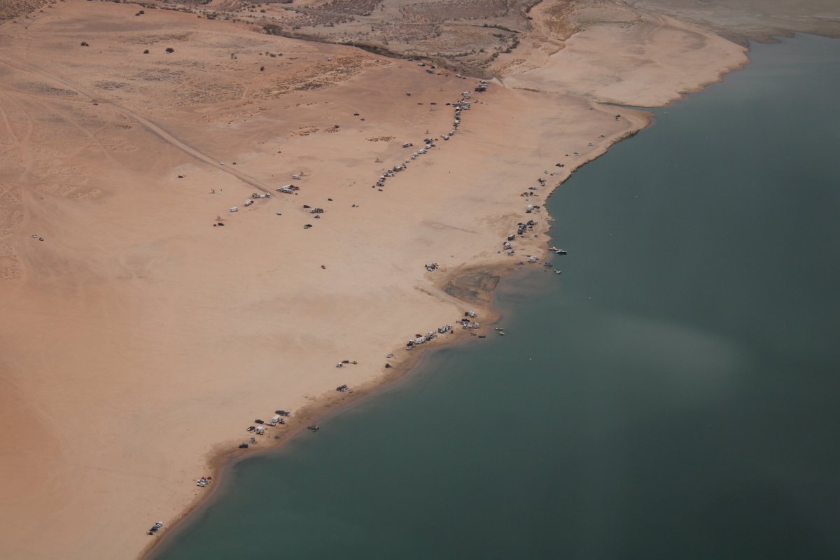
| Lone Rock Beach looks like a popular spot. |
| |
 |
|
|
Wahweap Bay turns into Wahweap Creek, which heads due north and gets me pretty close to Escalante. Perfect.
|
| |
 |
|
| |
| |
 |
|
|
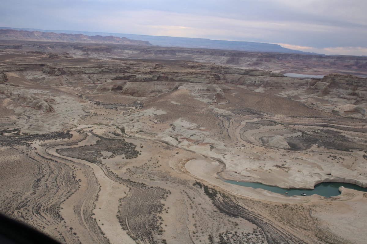
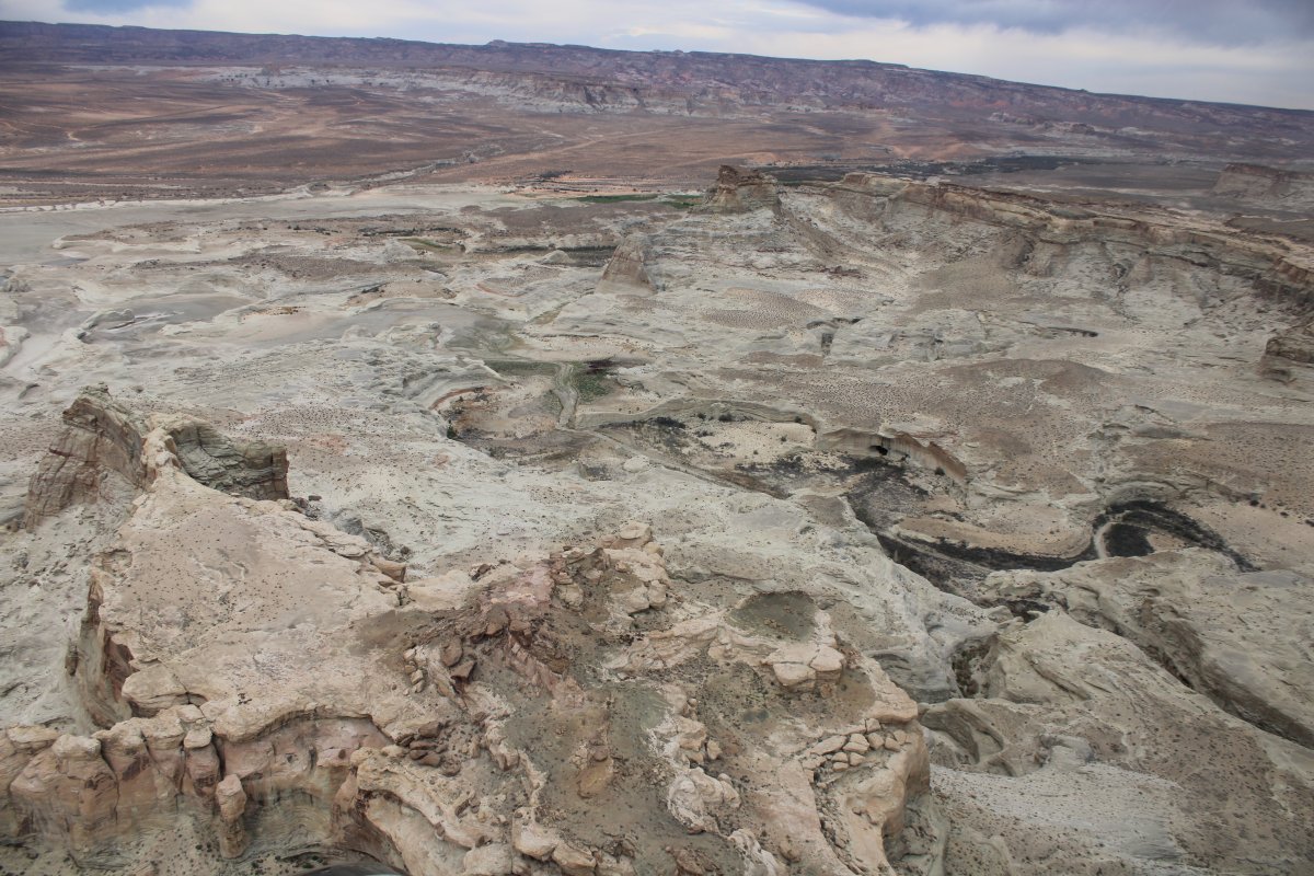
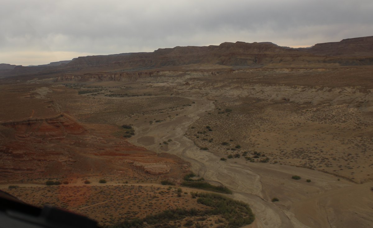
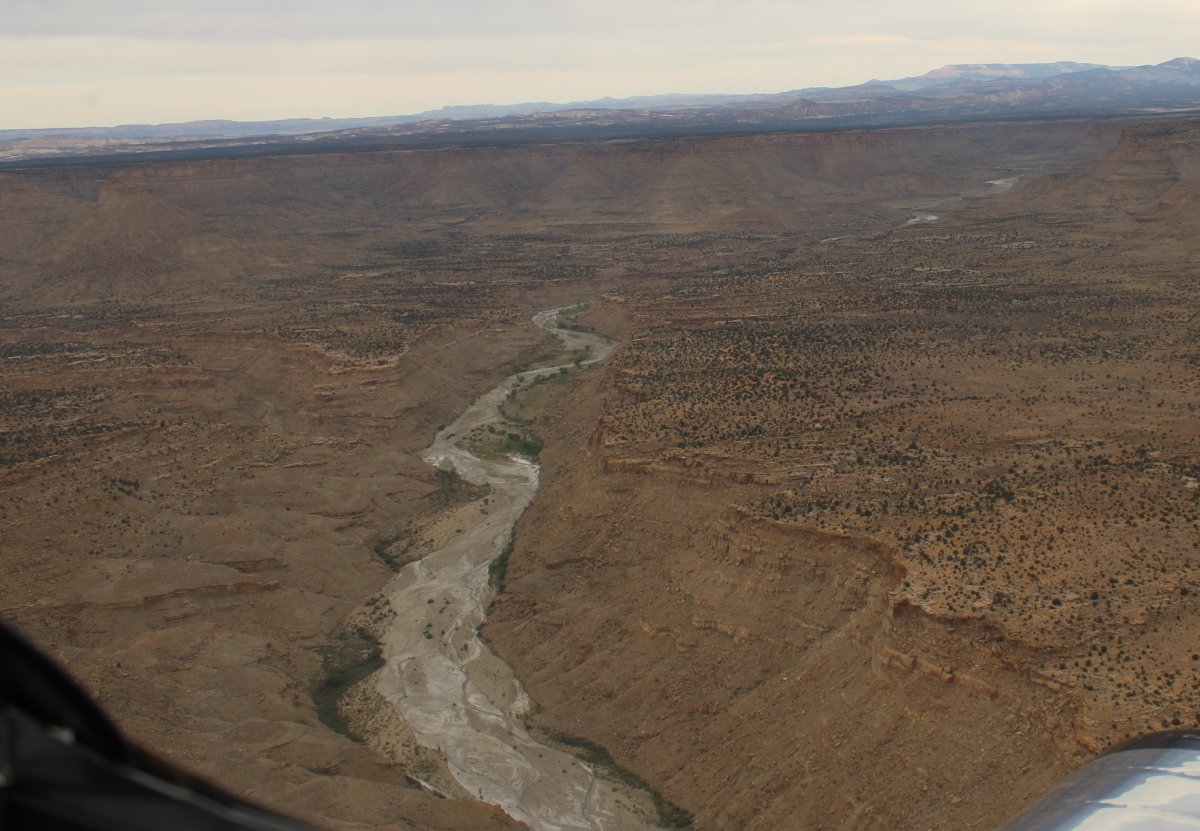
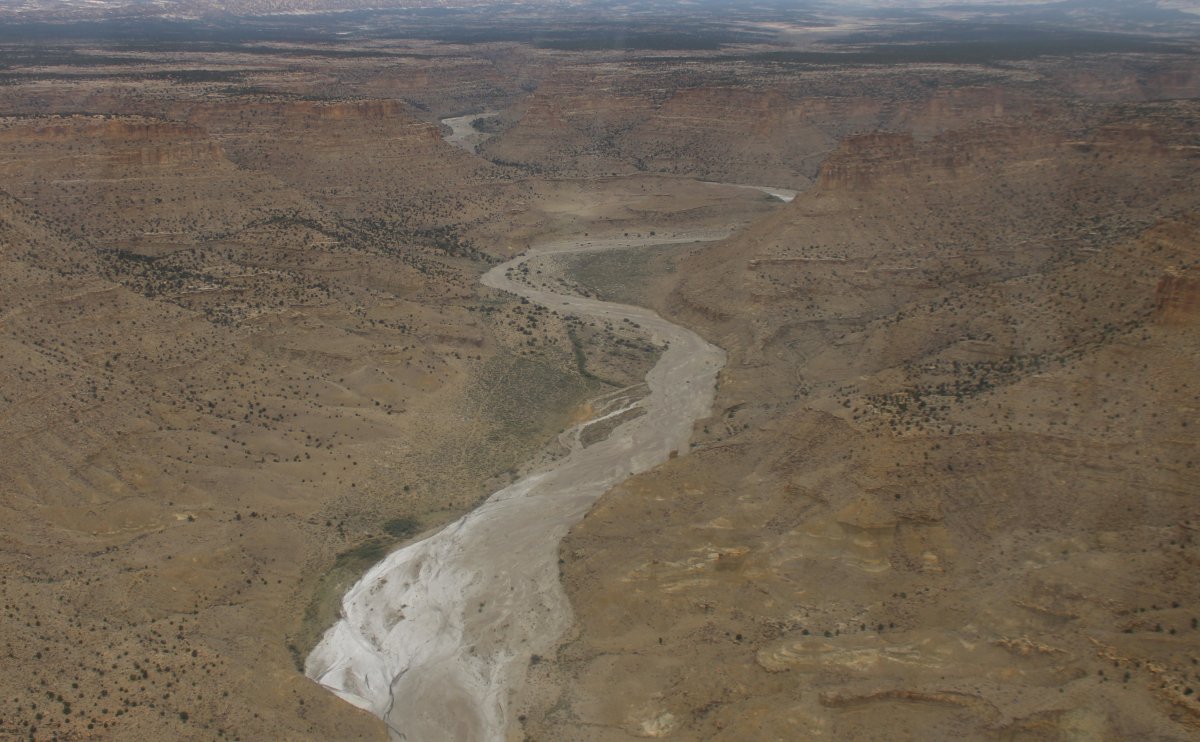
Following Wahweap Creek which as you might expect has its own little canyon.
|
| |
 |
|
| |
| |
 |
|
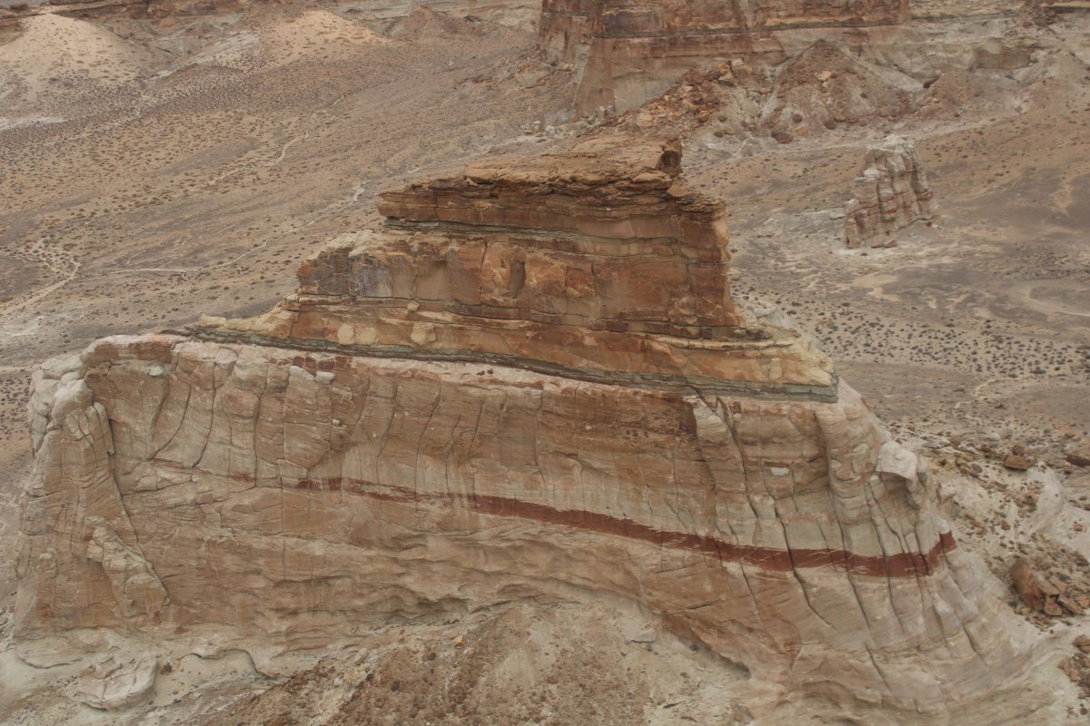
| The green creek bed contrasts nicely with the white rock. |
| |
 |
|
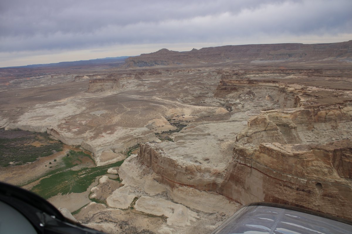
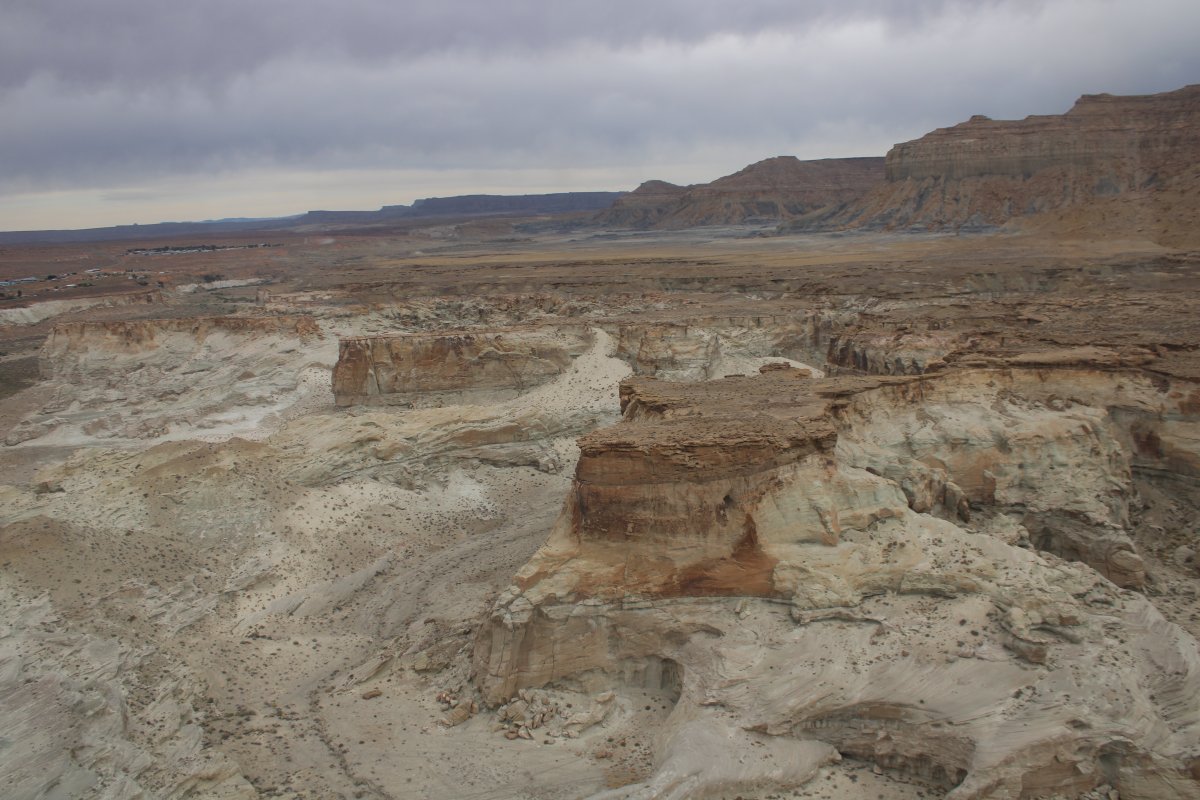
| Then suddenly I'm in a miniature, white rock, monument valley. |
| |
 |
|
|
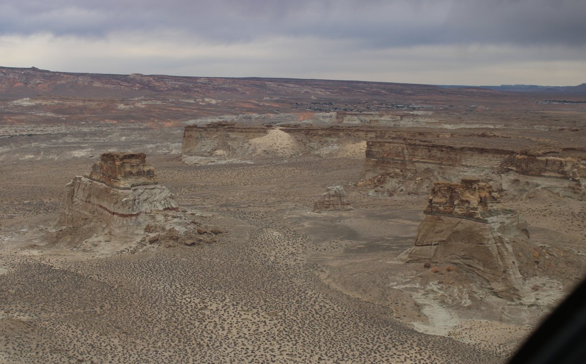
Passing close by a butte.
|
| |
 |
|
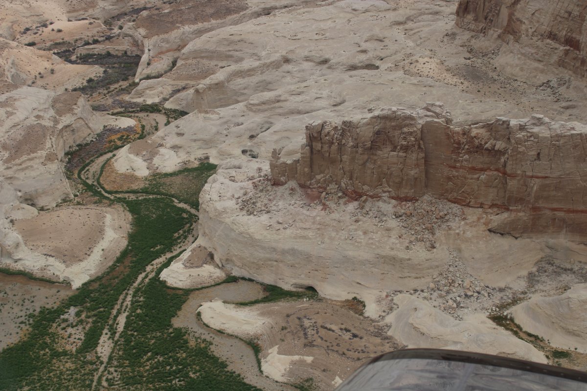
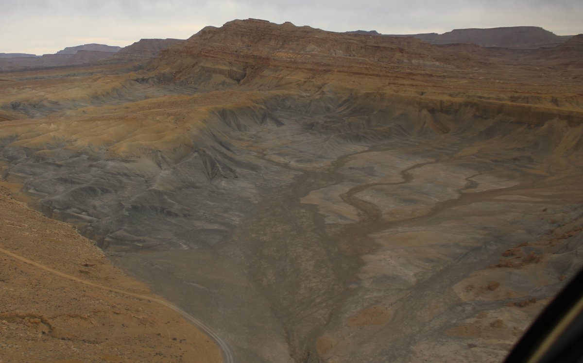
| Wahweep Creek is between the Paria River to the west and Last Chance Creek to the east. |
| |
 |
|
| Another Butte. |
| |
 |
|
| |
| |
 |
|
|
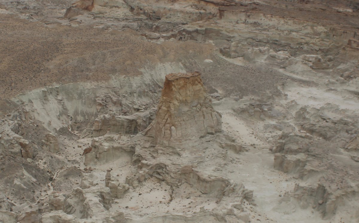
Amazing.
|
| |
 |
|
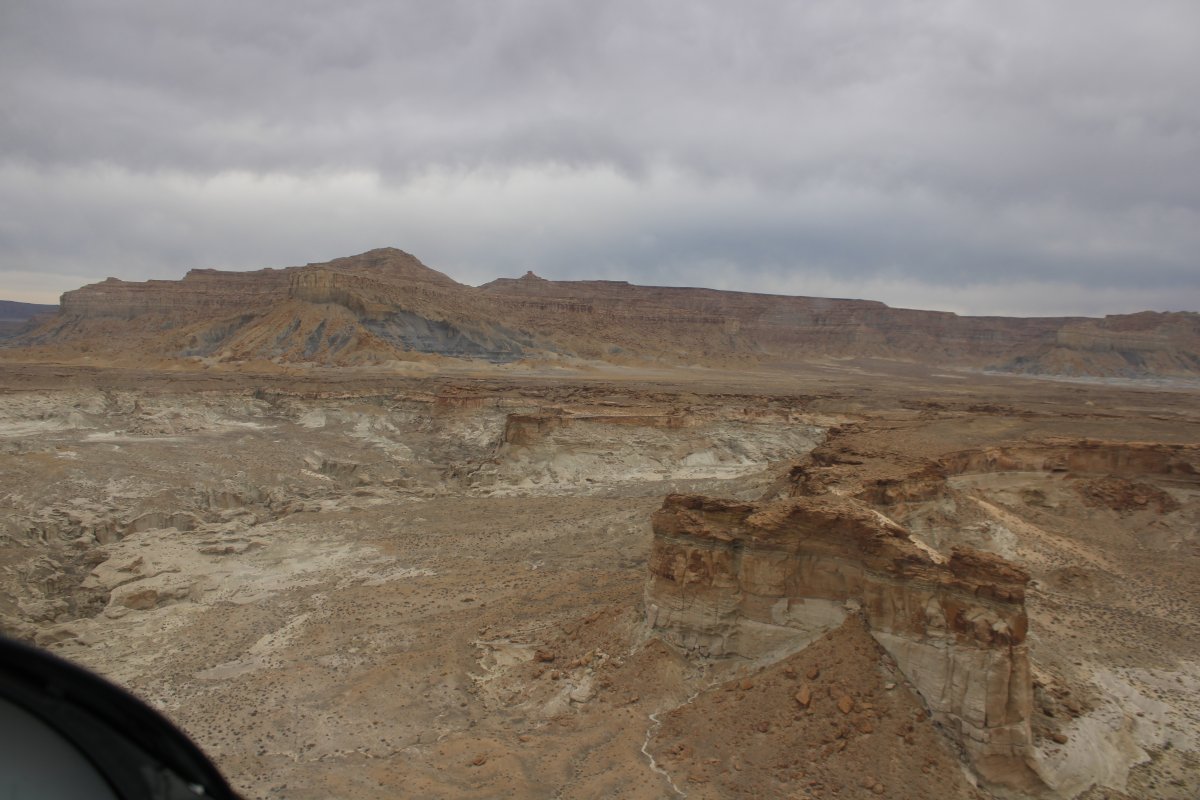
| The creek and I climb to higher elevation. |
| |
 |
|
|
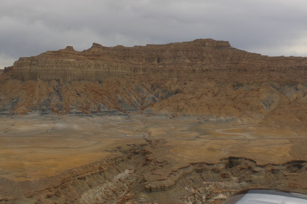
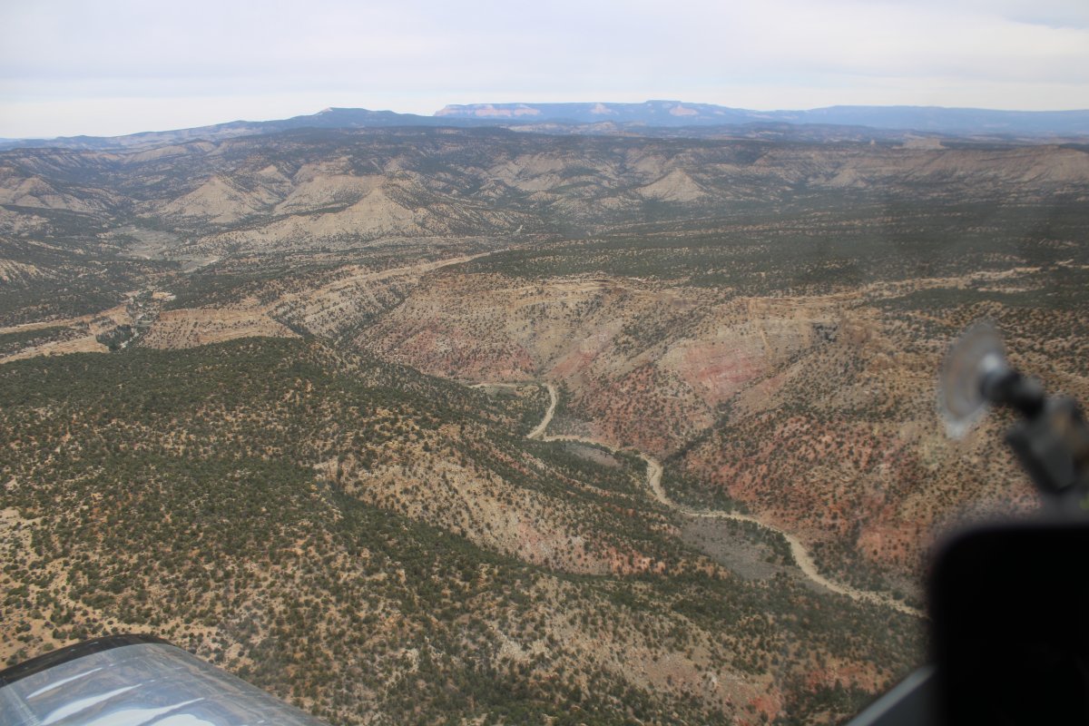
Now I'm flying over yellow and gray.
|
| |
 |
|
| Cottonwood Canyon, which I flew an hour and a half ago, is off to my left. |
| |
 |
|
| Grosvenor Arch must have been very close at this point but I didn't know that! |
| |
 |
|
| |
| |
 |
|
|
|
| |
 |
|
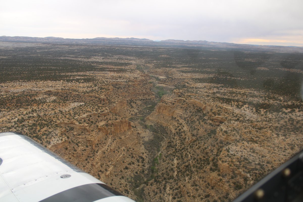
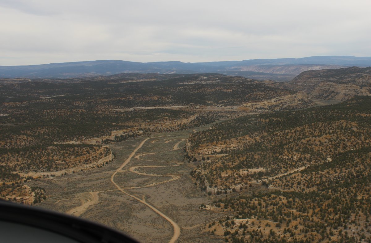
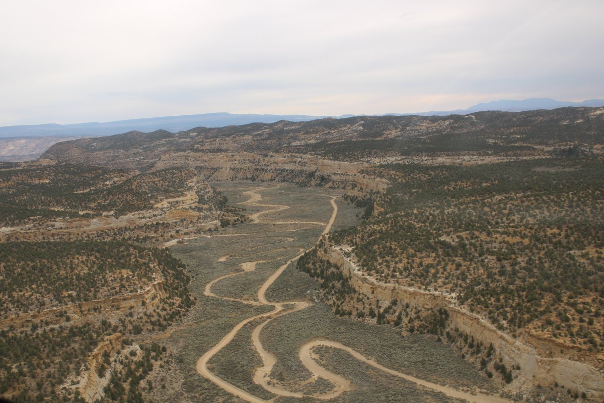
| Wahweap Creek petered out and I am now heading north-northeast across numerous canyons towards Escalante. |
| |
 |
|
| Following Pet Hollow Road to Escalante. |
| |
 |
|
| |
| |
 |
|
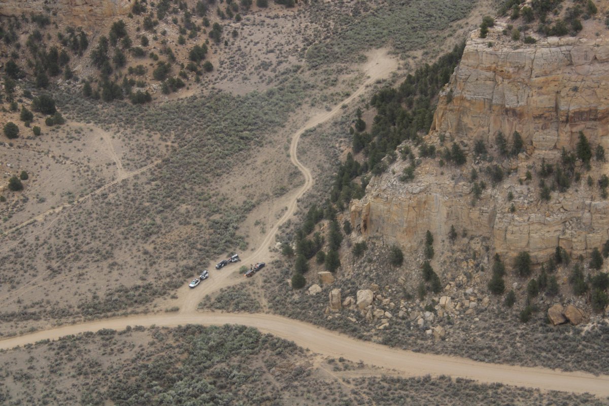
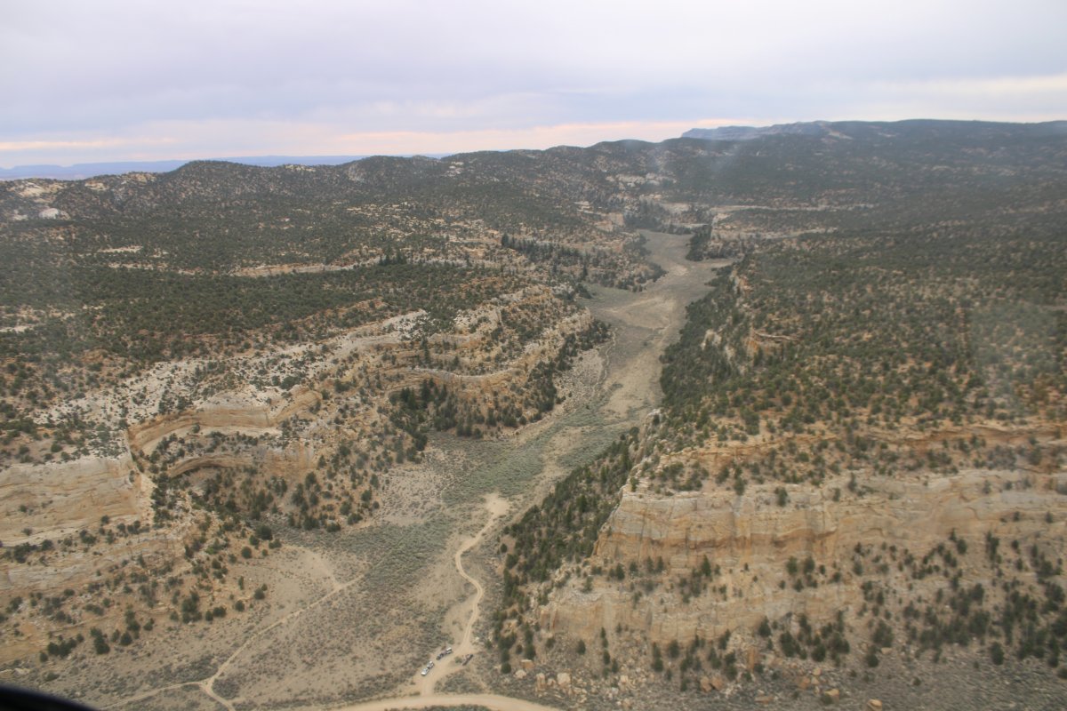
| A trailhead? |
| |
 |
|
|
|
| |
 |
|
|
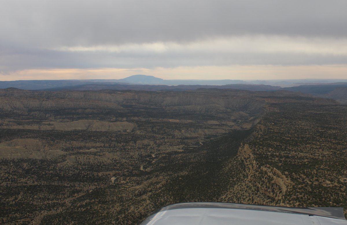
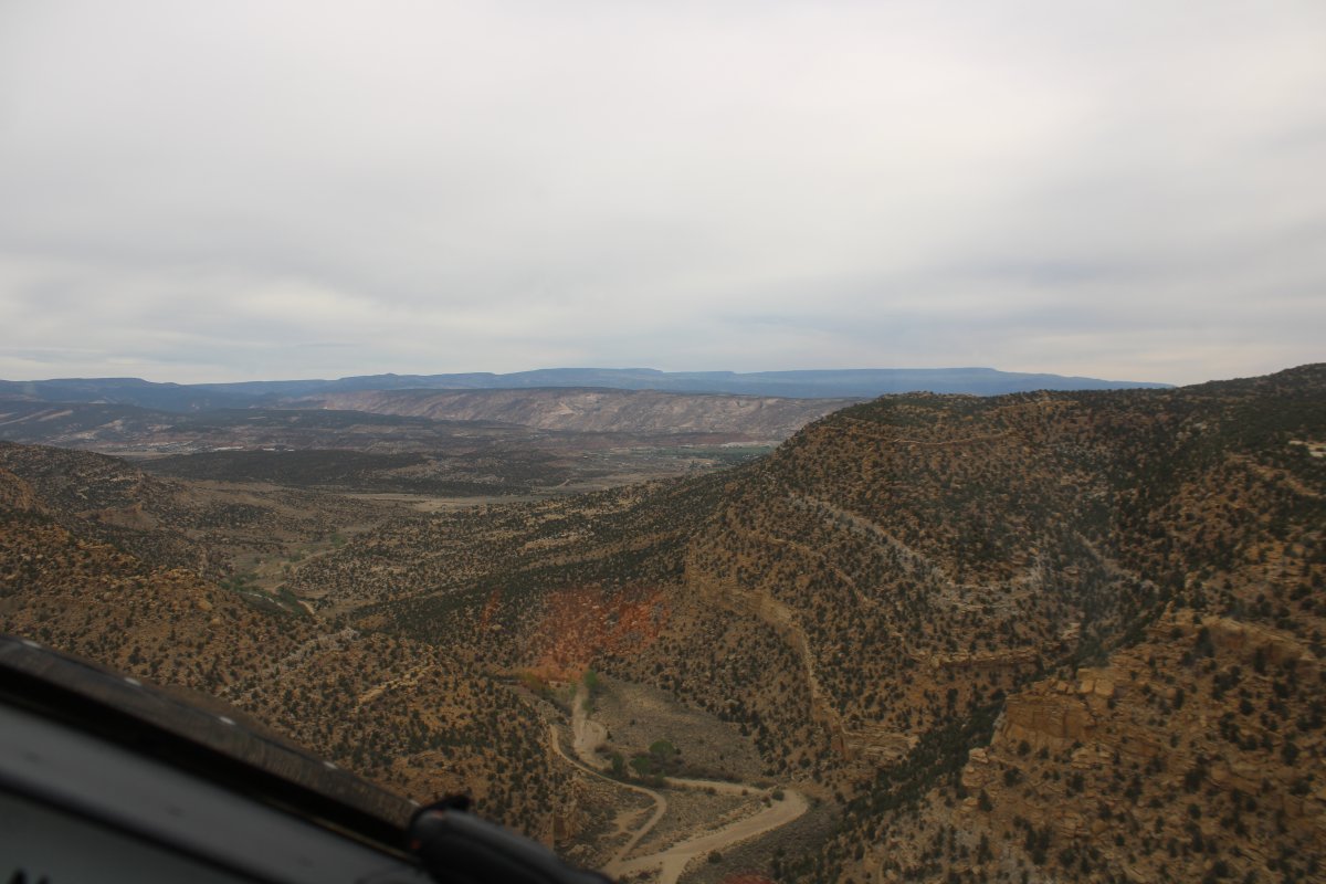
And then I am out of the moutains and into the big Escalante Valley.
|
| |
 |
|
|
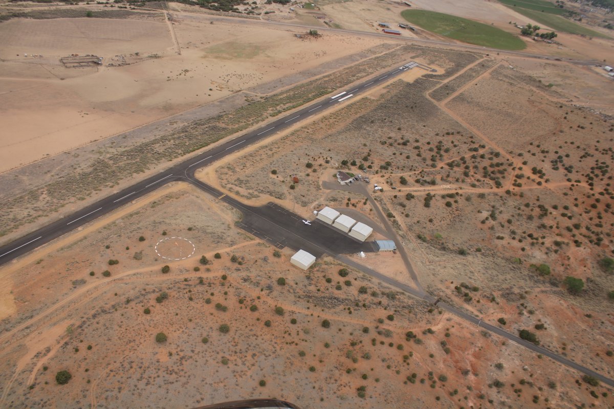
Overhead Escalante Airport.
|
| |
 |
|
| |
| |
|
|
|
|
|
|